 |
MODFLOW 6
version 6.7.0.dev1
USGS Modular Hydrologic Model
|
|
MODFLOW 6
version 6.7.0.dev1
USGS Modular Hydrologic Model
|
This module contains stateless sfr subroutines and functions. More...
Functions/Subroutines | |
| real(dp) function, public | get_saturated_topwidth (npts, stations) |
| Calculate the saturated top width for a reach. More... | |
| real(dp) function, public | get_wetted_topwidth (npts, stations, heights, d) |
| Calculate the wetted top width for a reach. More... | |
| real(dp) function | get_wet_vert_face (n, npts, heights, d, leftface) |
| Calculate wetted vertical height. More... | |
| real(dp) function, public | get_wetted_perimeter (npts, stations, heights, d) |
| Calculate the wetted perimeter for a reach. More... | |
| real(dp) function, public | get_cross_section_area (npts, stations, heights, d) |
| Calculate the cross-sectional area for a reach. More... | |
| real(dp) function, public | get_hydraulic_radius (npts, stations, heights, d) |
| Calculate the hydraulic radius for a reach. More... | |
| real(dp) function, public | get_mannings_section (npts, stations, heights, roughfracs, roughness, conv_fact, slope, d) |
| Calculate the manning's discharge for a reach. More... | |
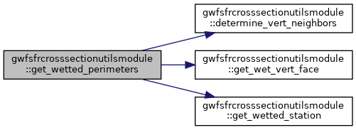
| subroutine | determine_vert_neighbors (npts, stations, heights, leftv, rightv) |
| Determine vertical segments. More... | |
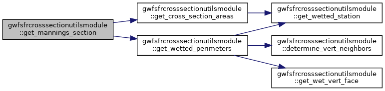
| subroutine | get_wetted_perimeters (npts, stations, heights, d, p) |
| Calculate the wetted perimeters for each line segment. More... | |
| subroutine | get_cross_section_areas (npts, stations, heights, d, a) |
| Calculate the cross-sectional areas for each line segment. More... | |
| subroutine | get_wetted_topwidths (npts, stations, heights, d, w) |
| Calculate the wetted top widths for each line segment. More... | |
| pure subroutine | get_wetted_station (x0, x1, d0, d1, dmax, dmin, d) |
| Calculate the station values for the wetted portion of the cross-section. More... | |
This module contains the functions to calculate the wetted perimeter and cross-sectional area for a reach cross-section that are used in the streamflow routing (SFR) package. It also contains subroutines to calculate the wetted perimeter and cross-sectional area for each line segment in the cross-section. This module does not depend on the SFR package.
|
private |
Subroutine to cycle through each segment (npts - 1) and determine whether neighboring segments are vertically-oriented.
| [in] | npts | number of station-height data for a reach |
| [in] | stations | cross-section station distances (x-distance) |
| [in] | heights | cross-section height data |
Definition at line 295 of file SfrCrossSectionUtils.f90.
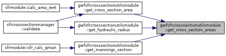
| real(dp) function, public gwfsfrcrosssectionutilsmodule::get_cross_section_area | ( | integer(i4b), intent(in) | npts, |
| real(dp), dimension(npts), intent(in) | stations, | ||
| real(dp), dimension(npts), intent(in) | heights, | ||
| real(dp), intent(in) | d | ||
| ) |
Function to calculate the cross-sectional area for a reach using the cross-section station-height data given a passed depth.
| [in] | npts | number of station-height data for a reach |
| [in] | stations | cross-section station distances (x-distance) |
| [in] | heights | cross-section height data |
| [in] | d | depth to evaluate cross-section |
Definition at line 148 of file SfrCrossSectionUtils.f90.


|
private |
Subroutine to calculate the cross-sectional area for each line segment that defines the reach using the cross-section station-height data given a passed depth.
| [in] | npts | number of station-height data for a reach |
| [in] | stations | cross-section station distances (x-distance) |
| [in] | heights | cross-section height data |
| [in] | d | depth to evaluate cross-section |
| [in,out] | a | cross-sectional area for each line segment |
Definition at line 415 of file SfrCrossSectionUtils.f90.
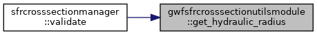
| real(dp) function, public gwfsfrcrosssectionutilsmodule::get_hydraulic_radius | ( | integer(i4b), intent(in) | npts, |
| real(dp), dimension(npts), intent(in) | stations, | ||
| real(dp), dimension(npts), intent(in) | heights, | ||
| real(dp), intent(in) | d | ||
| ) |
Function to calculate the hydraulic radius for a reach using the cross-section station-height data given a passed depth.
| [in] | npts | number of station-height data for a reach |
| [in] | stations | cross-section station distances (x-distance) |
| [in] | heights | cross-section height data |
| [in] | d | depth to evaluate cross-section |
Definition at line 178 of file SfrCrossSectionUtils.f90.

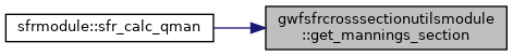
| real(dp) function, public gwfsfrcrosssectionutilsmodule::get_mannings_section | ( | integer(i4b), intent(in) | npts, |
| real(dp), dimension(npts), intent(in) | stations, | ||
| real(dp), dimension(npts), intent(in) | heights, | ||
| real(dp), dimension(npts), intent(in) | roughfracs, | ||
| real(dp), intent(in) | roughness, | ||
| real(dp), intent(in) | conv_fact, | ||
| real(dp), intent(in) | slope, | ||
| real(dp), intent(in) | d | ||
| ) |
Function to calculate the mannings discharge for a reach by calculating the discharge for each section, which can have a unique Manning's coefficient given a passed depth.
| [in] | npts | number of station-height data for a reach |
| [in] | stations | cross-section station distances (x-distance) |
| [in] | heights | cross-section height data |
| [in] | roughfracs | cross-section Mannings roughness fraction data |
| [in] | roughness | base reach roughness |
| [in] | conv_fact | unit conversion factor |
| [in] | slope | reach slope |
| [in] | d | depth to evaluate cross-section |
Definition at line 229 of file SfrCrossSectionUtils.f90.
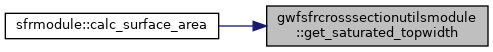
| real(dp) function, public gwfsfrcrosssectionutilsmodule::get_saturated_topwidth | ( | integer(i4b), intent(in) | npts, |
| real(dp), dimension(npts), intent(in) | stations | ||
| ) |
Function to calculate the maximum top width for a reach using the cross-section station data.
| [in] | npts | number of station-height data for a reach |
| [in] | stations | cross-section station distances (x-distance) |
Definition at line 34 of file SfrCrossSectionUtils.f90.
|
private |
For segments flanked by vertically-oriented neighboring segments, return the length of the submerged, vertically-oriented, neighboring face
| [in] | n | index to be evaluated |
| [in] | npts | length of heights vector |
| [in] | heights | cross-section height data |
Definition at line 85 of file SfrCrossSectionUtils.f90.
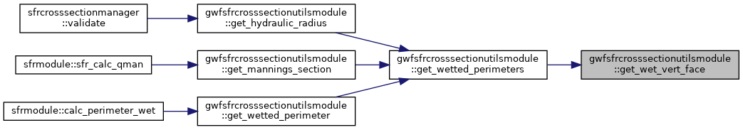
| real(dp) function, public gwfsfrcrosssectionutilsmodule::get_wetted_perimeter | ( | integer(i4b), intent(in) | npts, |
| real(dp), dimension(npts), intent(in) | stations, | ||
| real(dp), dimension(npts), intent(in) | heights, | ||
| real(dp), intent(in) | d | ||
| ) |
Function to calculate the wetted perimeter for a reach using the cross-section station-height data given a passed depth.
| [in] | npts | number of station-height data for a reach |
| [in] | stations | cross-section station distances (x-distance) |
| [in] | heights | cross-section height data |
| [in] | d | depth to evaluate cross-section |
Definition at line 118 of file SfrCrossSectionUtils.f90.


|
private |
Subroutine to calculate the wetted perimeter for each line segment that defines the reach using the cross-section station-height data given a passed depth.
| [in] | npts | number of station-height data for a reach |
| [in] | stations | cross-section station distances (x-distance) |
| [in] | heights | cross-section height data |
| [in] | d | depth to evaluate cross-section |
| [in,out] | p | wetted perimeter for each line segment |
Definition at line 334 of file SfrCrossSectionUtils.f90.

|
private |
Subroutine to calculate the station values that define the extent of the wetted portion of the cross section for a line segment. The left (x0) and right (x1) station positions are altered if the passed depth is less than the maximum line segment depth. If the line segment is dry the left and right station are equal. Otherwise the wetted station values are equal to the full line segment or smaller if the passed depth is less than the maximum line segment depth.
| [in,out] | x0 | left station position |
| [in,out] | x1 | right station position |
| [in] | d0 | depth at the left station |
| [in] | d1 | depth at the right station |
| [in,out] | dmax | maximum depth |
| [in,out] | dmin | minimum depth |
| [in] | d | depth to evaluate cross-section |
Definition at line 519 of file SfrCrossSectionUtils.f90.
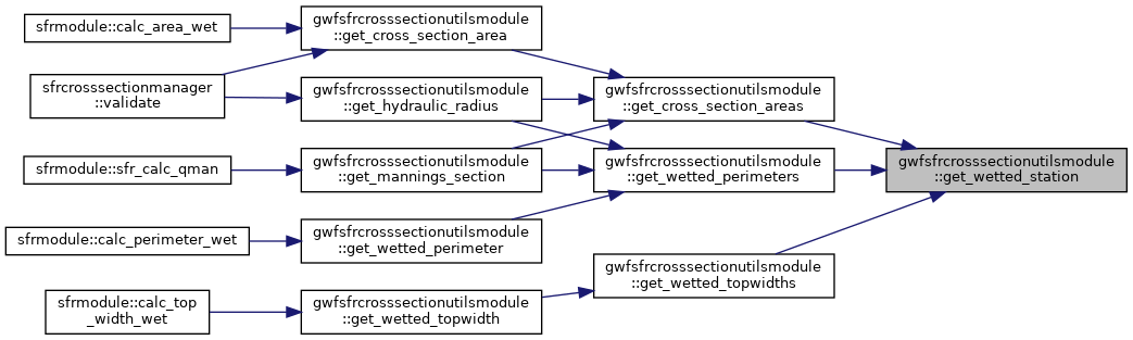
| real(dp) function, public gwfsfrcrosssectionutilsmodule::get_wetted_topwidth | ( | integer(i4b), intent(in) | npts, |
| real(dp), dimension(npts), intent(in) | stations, | ||
| real(dp), dimension(npts), intent(in) | heights, | ||
| real(dp), intent(in) | d | ||
| ) |
Function to calculate the wetted top width for a reach using the cross-section station-height data given a passed depth.
| [in] | npts | number of station-height data for a reach |
| [in] | stations | cross-section station distances (x-distance) |
| [in] | heights | cross-section height data |
| [in] | d | depth to evaluate cross-section |
Definition at line 56 of file SfrCrossSectionUtils.f90.

|
private |
Subroutine to calculate the wetted top width for each line segment that defines the reach using the cross-section station-height data given a passed depth.
| [in] | npts | number of station-height data for a reach |
| [in] | stations | cross-section station distances (x-distance) |
| [in] | heights | cross-section height data |
| [in] | d | depth to evaluate cross-section |
| [in,out] | w | wetted top widths for each line segment |
Definition at line 475 of file SfrCrossSectionUtils.f90.